Geological Characteristics of the New Economic City Site

The area allocated for the New Economic City is located on the northern coast of the Gulf of Aden, within Khanfar District in Abyan Governorate, near the city of Aden. Geologically, this area forms part of the southern margin of the Arabian Plate. Its nature relates to the separation of this plate from the African Plate in the late Paleogene, which led to the formation of the Gulf of Aden and the expansion of the adjacent marine basin. This tectonic activity created marine basins and graded sedimentary systems that enabled the accumulation of various sediments, forming the current subsurface layers in the region to which the project area belongs.
Geological Layers within the Project Area:
The project area shows a clear geological sequence extending from the surface layer down to the basement rocks (Precambrian), summarized as follows:
- Recent Surface Layer (Coastal and Alluvial Sediments):
This is the uppermost ground layer upon which the city will be built. It is a flat coastal plain composed of a mixture of sand, gravel, and silt. Along the shoreline, sand dunes extend inland for an estimated distance of 1–4 km. Beyond these dunes, an area extends northward containing saline layers and marine shells. - Tihama Group – Pleistocene:
Located beneath the surface layer, with a thickness ranging from 50–200 meters. It formed in shallow marine depositional environments and deltas, and includes layers of sandstone and mudstone with interbeds of rock salt and marine fossils. - Tihama Group – Pliocene:
The third layer, with a thickness ranging from 50–200 meters. It formed from meandering rivers and coastal zones affected by tides, featuring coarse sandstone and quartz-rich layers, as well as clay layers rich in gypsum. - Tihama Group – Late Miocene:
Thickness ranges from 200–500 meters. It represents deposition in inland lakes and shallow seas, and contains sandstone and mudstone, limited coal layers, and diatomite rocks rich in silica. - Pre–Final Rift Formations:
Thickness ranges from 300–600 meters. These represent shallow marine environments with intermittent volcanic activity, including limestone, fossilized coral reefs, and basalt layers. - Volcanic Rocks Associated with Rifting (Oligocene–Miocene):
Thickness ranges from 300–600 meters. These are volcanic activities linked to the early rifting of the Gulf of Aden, composed mainly of tholeiitic basalt with limited andesite. - Basement Rocks (Precambrian):
Metamorphic rocks (gneiss and schist) belonging to the Arabian–Nubian Shield formations, representing the core foundation of the Earth’s crust in the area.
Assessment of Seismic and Volcanic Hazards:
Geological studies indicate the formation of basins oriented parallel to the rifting of the Gulf of Aden, which occurred during the Neogene along an east-northeast to west-southwest trend. One of these basins is the Aden–Abyan Basin. During its development, uplifted blocks appeared, such as the Yafi’ Mountains block north of the project area, which generally belongs to the tectonic framework of the Indian Ocean generated by the separation of the Arabian Plate from the African Plate.
Based on the above, earthquakes occurring in the Gulf of Aden, the Arabian Sea, and the Red Sea are of limited magnitude, generally ranging between 2–3 on the Richter scale, and therefore do not pose a risk to projects or the surrounding environment.
Regarding volcanic hazard expectations, studies indicate that the area is safe in this respect. Geologists have identified ancient volcanic rocks in the broader region, dating to the late Miocene, including basaltic diabase dikes similar to those forming Jabal Hassan and nearby mountains in Abyan, as well as rocks formed during the Tertiary (Miocene–Pliocene) and Quaternary (Pleistocene–Holocene) periods, such as those found in Wadi Hassan and Ras Imran.
Experts reported, after reviewing the volcanic history of the region, that no recent volcanic activity has been recorded in the study area. According to their statements, the last volcanic eruption occurred during the late Miocene approximately 20 million years ago. They also noted that all volcanic activities after the Miocene were of the extinct type and do not affect humans or their surrounding environment.
These geological findings, provided by experts from Dar Hadhramaut for Environmental Studies and Marine Engineering, contracted by the company, supported the company’s engineering team in designing foundations and infrastructure for the city in accordance with these conditions, with the aim of ensuring the highest levels of stability and sustainability of buildings and facilities over the long term.
Related Articles
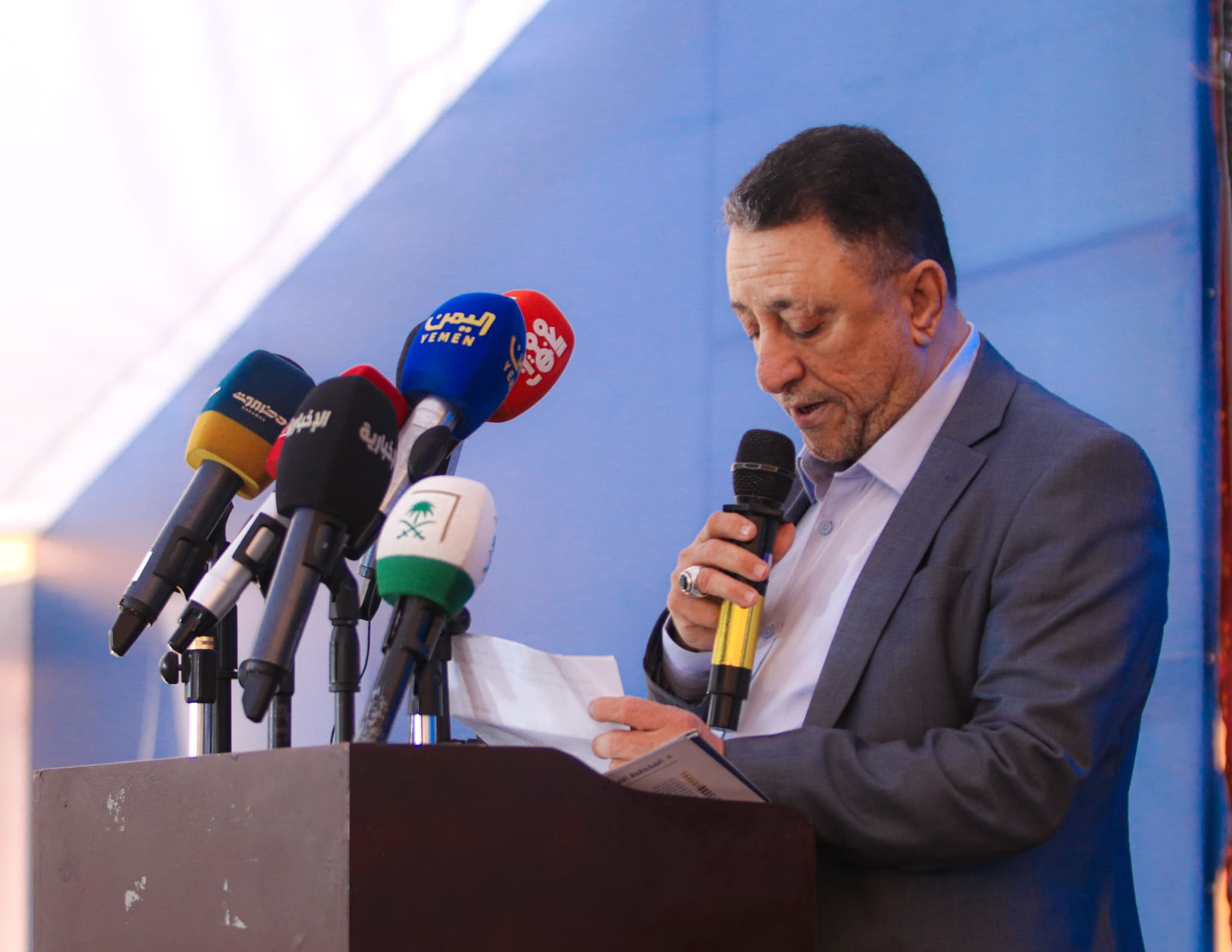
The Secretary-General of the Abyan Local Council Affirms the Importance of the New Economic City in Supporting Development and Investment
Mr. Mahdi Al-Hamad, Secretary-General of the Abyan Local Council, emphasized the importance of the New Economic City as a strategic project that supports development, stimulates investment

Environmental Governance in the New Economic City
NEC applies strong environmental governance: cleaner air, smart water and sewer networks, stormwater drainage, clean energy, expanded green spaces, soil protection, and noise reduction.

The New Economic City: From the Ashes of the Past to the Horizon of Modernity and Development
A fourth-generation city near Aden, designed to turn untapped land into a hub for investment, jobs, and sustainable growth—bridging Yemen’s heritage with a smart, modern future.